Mynd:Democratic Republic of the Congo adm location map.svg

Upphafleg skrá (SVG-skrá, að nafni til 1.240 × 1.181 mynddílar, skráarstærð: 732 KB)
Lýsing
| Lýsing |
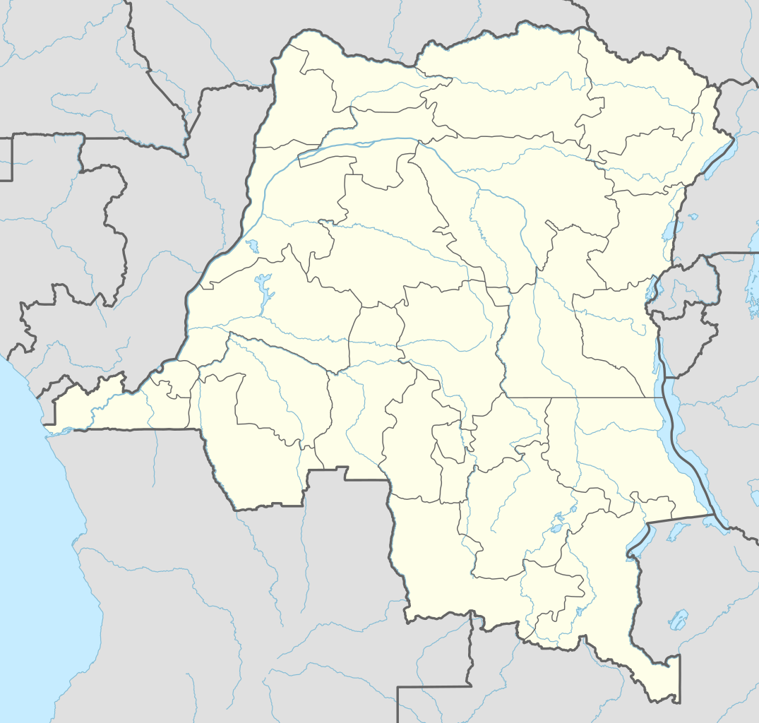
Deutsch: Positionskarte der Demokratischen Republik Kongo
English: Location map of the Democratic Republic of the Congo
|
||||||||||||
| Dagsetning | |||||||||||||
| Uppruni |
Own work using:
|
||||||||||||
| Höfundarréttarhafi | NordNordWest | ||||||||||||

|
This map has been made or improved in the German Kartenwerkstatt (Map Lab). You can propose maps to improve as well.
|
Leyfisupplýsingar:
Usage of this file with:

explanatory notes: Legally binding is only the full legalcode. For a free usage I recommend to respect the following licence conditions:
1. Provide my name as given above: NordNordWest,
2. a copy of, or the URI for, the applicable license: https://creativecommons.org/licenses/by-sa/3.0/de/legalcode,
3. the title of the work,
4. in the case of an adaptation, a credit identifying the use of the work in the adaptation.
This license and the rights granted hereunder will terminate automatically upon any breach by you of the terms of this license. Any of the above conditions can be waived if you get permission from the copyright holder. If you have questions or wish differing conditions, please contact me through nnwest or my discussion page ![]() t-online.de
t-online.de
- Þér er frjálst:
- að deila – að afrita, deila og yfirfæra verkið
- að blanda – að breyta verkinu
- Undir eftirfarandi skilmálum:
- tilvísun höfundarréttar – Þú verður að tilgreina viðurkenningu á höfundarréttindum, gefa upp tengil á notkunarleyfið og gefa til kynna ef breytingar hafa verið gerðar. Þú getur gert þetta á einhvern ásættanlegan máta, en ekki á nokkurn þann hátt sem bendi til þess að leyfisveitandinn styðji þig eða notkun þína á verkinu.
- Deila eins – Ef þú breytir, yfirfærir eða byggir á þessu efni, þá mátt þú eingöngu dreifa því verki með sama eða svipuðu leyfi og upprunalega verkið er með.

Breytingaskrá skjals
Smelltu á dagsetningu eða tímasetningu til að sjá hvernig hún leit þá út.
| Dagsetning/Tími | Smámynd | Víddir | Notandi | Athugasemd | |
|---|---|---|---|---|---|
| núverandi | 15. nóvember 2022 kl. 01:51 | | 1.240 × 1.181 (732 KB) | SyntaxTerror | sorted in layers |
| 16. febrúar 2016 kl. 08:51 |  | 1.240 × 1.181 (692 KB) | NordNordWest | corr | |
| 15. febrúar 2016 kl. 18:25 |  | 1.240 × 1.181 (691 KB) | NordNordWest | == {{int:filedesc}} == {{Information |Description= {{de|1=Positionskarte der Demokratischen Republik Kongo}} {{en|1=Location map of the Democratic Republic of the Congo}} {{Location map series N |stretching=100 |top=6 |bottom=-14 |left=11 |right=32 }}... |
Skráartenglar
Eftirfarandi 3 síður nota þessa skrá:
Altæk notkun skráar
Eftirfarandi wikar nota einnig þessa skrá:
- Notkun á ab.wikipedia.org
- Notkun á af.wikipedia.org
- Notkun á an.wikipedia.org
- Notkun á ast.wikipedia.org
- Notkun á azb.wikipedia.org
- Notkun á bn.wikipedia.org
Skoða frekari altæka notkun þessarar skráar.