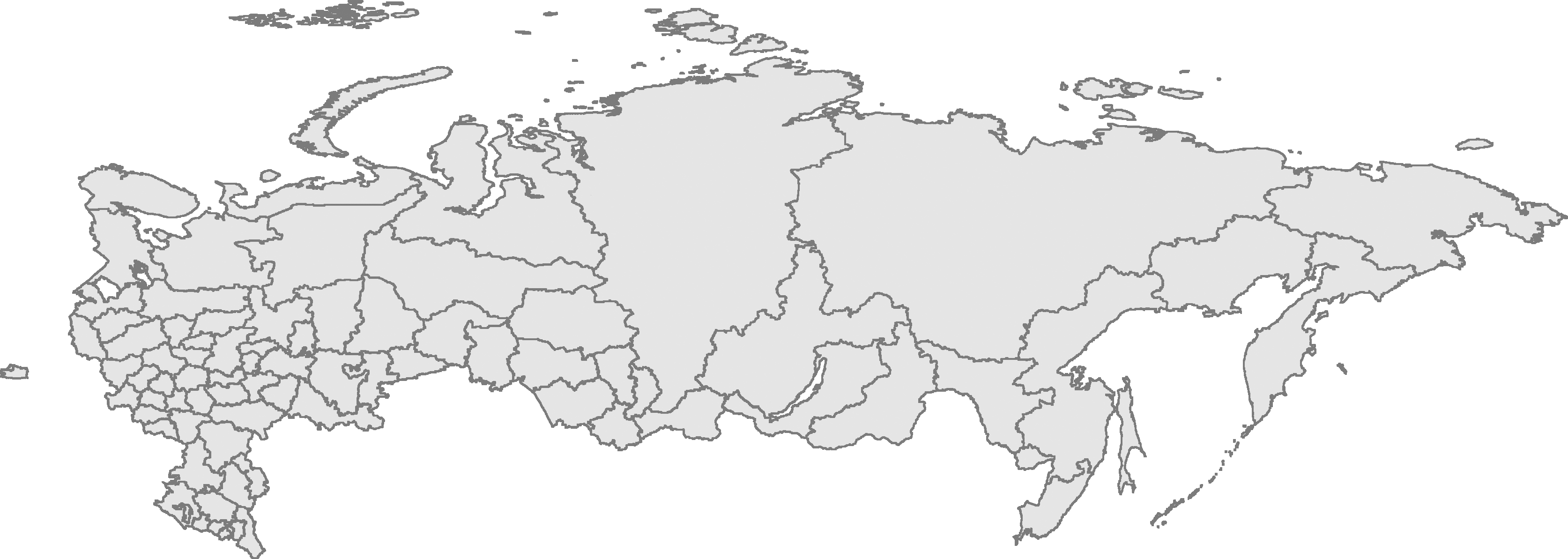
Mynd:RussiaContourMap.png
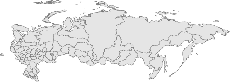
Stærð þessarar forskoðunar: 800 × 285 mynddílar Aðrar upplausnir: 320 × 114 mynddílar | 640 × 228 mynddílar | 1.024 × 365 mynddílar | 1.280 × 456 mynddílar | 3.347 × 1.193 mynddílar.
Upphafleg skrá (3.347 × 1.193 mynddílar, skráarstærð: 305 KB, MIME-gerð: image/png)
| Lýsing | Russian Federation contour map, based on Image:Russia-equirectang*1,5.png | ||
| Dagsetning | |||
| Uppruni | eigin skrá | ||
| Höfundarréttarhafi | User:Kalan | ||
| Réttindi (Endurnotkun á þessari skrá) |
|

|
This map image could be re-created using vector graphics as an SVG file. This has several advantages; see Commons:Media for cleanup for more information. If an SVG form of this image is available, please upload it and afterwards replace this template with
{{vector version available|new image name}}.
It is recommended to name the SVG file “RussiaContourMap.svg”—then the template Vector version available (or Vva) does not need the new image name parameter. |
Breytingaskrá skjals
Smelltu á dagsetningu eða tímasetningu til að sjá hvernig hún leit þá út.
| Dagsetning/Tími | Smámynd | Víddir | Notandi | Athugasemd | |
|---|---|---|---|---|---|
| núverandi | 10. janúar 2009 kl. 23:56 | 3.347 × 1.193 (305 KB) | Чръный человек | {{Information |Description= |Source= |Date= |Author= |Permission= |other_versions= }} | |
| 29. febrúar 2008 kl. 23:12 | 3.347 × 1.193 (95 KB) | Sasha Krotov | Забайкальский край | ||
| 1. janúar 2008 kl. 17:01 | 3.347 × 1.193 (95 KB) | Sasha Krotov | Усть-Ордынский Бурятский автономный округ удалён | ||
| 28. desember 2007 kl. 16:38 | 3.347 × 1.193 (96 KB) | Sasha Krotov | Kamchatka fix | ||
| 25. apríl 2007 kl. 20:28 | 3.347 × 1.193 (88 KB) | Obersachse | {{Information |Description=Russian Federation contour map, based on Image:Russia-equirectang*1,5.png |Source={{{source|Own work}}} |Date={{{date|17 03 2007}}} |Author=User:Kalan |Permission={{PD-self}} |other_versions={{{otherversio | ||
| 23. mars 2007 kl. 10:15 | 6.694 × 2.387 (191 KB) | Kalan | map is now up to date; enhanced borders | ||
| 17. mars 2007 kl. 09:29 | 6.694 × 2.387 (163 KB) | Kalan | {{subst:User:Kalan/Me-PD|description=Russian Federation contour map, based on Image:Russia-equirectang*1,5.png}} Category:Russia Category:Maps |
Skráartenglar
Það eru engar síður sem nota þessa skrá.
Altæk notkun skráar
Eftirfarandi wikar nota einnig þessa skrá:
- Notkun á ba.wikipedia.org
- Notkun á bg.wikipedia.org
- Notkun á de.wikipedia.org
- Notkun á en.wikisource.org
- Notkun á es.wikipedia.org
- Notkun á mk.wikipedia.org
- Notkun á nl.wikipedia.org
- Notkun á ro.wikipedia.org
- Notkun á ru.wikipedia.org
- Notkun á szl.wikipedia.org
- Kalińingrad
- Moskwa
- Uljanowsk
- Pejtersburg
- Kamyszin
- Murmańsk
- Władywostok
- Smoleńsk
- Kondopoga
- Taganrog
- Czelabińsk
- Puszkin (mjasto)
- Tambow
- Saratow
- Nieriungri
- Jekaterinburg
- Brjańsk
- Machaczkala
- Kazań
- Samara
- Ńiżńij Nowgorod
- Elista
- Ułan-Ude
- Ufa
- Gorno-Ałtajsk
- Nalczik
- Czerkesk
- Jakuck
- Kyzył
- Abakan
- Czeboksary
- Rostow na Donu
- Ńagań
- Iżewsk
- Soczi
- Jarosław (mjasto we Rusyji)
- Rossosz (Rusyjo)
Skoða frekari altæka notkun þessarar skráar.