Mynd:Rijnland amstelland atlasmaior.jpg

Upphafleg skrá (3.679 × 3.089 mynddílar, skráarstærð: 5,14 MB, MIME-gerð: image/jpeg)
Lýsing
| Lýsing |
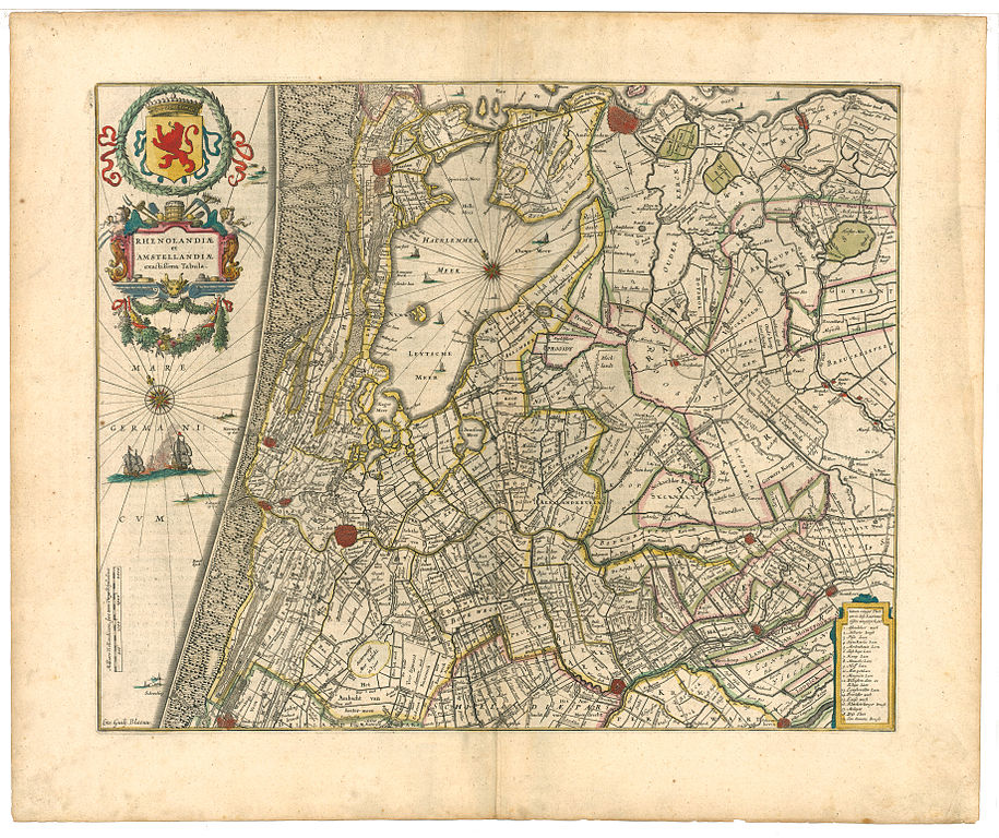
Nederlands: Rhenolandiæ et Amstellandiæ exactiqima Tabula (nauwkeurige kaart van Rijnland en Amstelland) |
| Dagsetning | before 1639 |
| Uppruni | Atlas Maior, Joan Blaeu, 1665 |
| Höfundarréttarhafi | Willem Blaeu |
Leyfisupplýsingar:
|
This work is in the public domain in its country of origin and other countries and areas where the copyright term is the author's life plus 70 years or fewer.
| |
| This file has been identified as being free of known restrictions under copyright law, including all related and neighboring rights. | |
Original upload log
- 2008-04-19 22:20 Michiel1972 3679×3089×8 (5386275 bytes) hogere resolutie
- 2007-04-26 18:18 Ronald 1000×778×8 (322955 bytes) {{Information |Description=Rhenolandiæ et Amstellandiæ exactiqima Tabula (nauwkeurige kaart van Rijnland en Amstelland) |Source=Atlas Maior, Jaon Blaeu, 1665 |Date=vóór 1639 |Author=Willem Blaeu |Permission= |other_versions= }}
Breytingaskrá skjals
Smelltu á dagsetningu eða tímasetningu til að sjá hvernig hún leit þá út.
| Dagsetning/Tími | Smámynd | Víddir | Notandi | Athugasemd | |
|---|---|---|---|---|---|
| núverandi | 19. apríl 2008 kl. 22:35 | | 3.679 × 3.089 (5,14 MB) | File Upload Bot (Magnus Manske) | {{BotMoveToCommons|nl.wikipedia}} {{Information |Description={{nl|Rhenolandiæ et Amstellandiæ exactiqima Tabula (nauwkeurige kaart van Rijnland en Amstelland)}} |Source=Transferred from [http://nl.wikipedia.org nl.wikipedia]<br/> (Original te |
Skráartenglar
Eftirfarandi síða notar þessa skrá:
Altæk notkun skráar
Eftirfarandi wikar nota einnig þessa skrá:
- Notkun á fr.wikipedia.org
- Notkun á nl.wikipedia.org