Mynd:Map of New Jersey highlighting Mercer County.svg

Stærð þessarar PNG forskoðunar á SVG skránni: 316 × 598 mynddílar. Aðrar upplausnir: 127 × 240 mynddílar | 253 × 480 mynddílar | 405 × 768 mynddílar | 541 × 1.024 mynddílar | 1.081 × 2.048 mynddílar | 1.426 × 2.700 mynddílar.
Upphafleg skrá (SVG-skrá, að nafni til 1.426 × 2.700 mynddílar, skráarstærð: 61 KB)
Lýsing
| Lýsing |
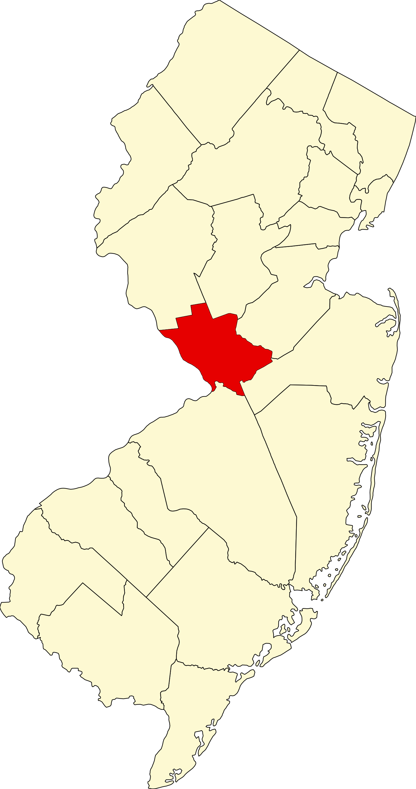
English: This is a locator map showing Mercer County in New Jersey. For more information, see Commons:United States county locator maps. |
| Dagsetning | |
| Uppruni |
eigin skrá: English: The maps use data from nationalatlas.gov, specifically countyp020.tar.gz on the Raw Data Download page. The maps also use state outline data from statesp020.tar.gz. The Florida maps use hydrogm020.tar.gz to display Lake Okeechobee. |
| Höfundarréttarhafi | David Benbennick |
Leyfisupplýsingar:
| I, the copyright holder of this work, release this work into the public domain. This applies worldwide. In some countries this may not be legally possible; if so: I grant anyone the right to use this work for any purpose, without any conditions, unless such conditions are required by law. |
Breytingaskrá skjals
Smelltu á dagsetningu eða tímasetningu til að sjá hvernig hún leit þá út.
| Dagsetning/Tími | Smámynd | Víddir | Notandi | Athugasemd | |
|---|---|---|---|---|---|
| núverandi | 12. febrúar 2006 kl. 15:29 | | 1.426 × 2.700 (61 KB) | David Benbennick | {{subst:User:Dbenbenn/clm|county=Mercer County|state=New Jersey|type=county}} |
Skráartenglar
Eftirfarandi síða notar þessa skrá:
Altæk notkun skráar
Eftirfarandi wikar nota einnig þessa skrá:
- Notkun á ar.wikipedia.org
- Notkun á az.wikipedia.org
- Notkun á ban.wikipedia.org
- Notkun á bg.wikipedia.org
- Notkun á bpy.wikipedia.org
- Notkun á bs.wikipedia.org
- Notkun á cdo.wikipedia.org
- Notkun á ceb.wikipedia.org
- Notkun á ce.wikipedia.org
- Notkun á cs.wikipedia.org
- Notkun á cy.wikipedia.org
- Notkun á de.wikipedia.org
- Notkun á en.wikipedia.org
- Trenton, New Jersey
- List of counties in New Jersey
- Princeton, New Jersey
- Lawrenceville, New Jersey
- Mercer County, New Jersey
- East Windsor, New Jersey
- Ewing Township, New Jersey
- Hamilton Township, Mercer County, New Jersey
- Hightstown, New Jersey
- Hopewell, New Jersey
- Hopewell Township, Mercer County, New Jersey
- Lawrence Township, Mercer County, New Jersey
- Mercerville-Hamilton Square, New Jersey
- Pennington, New Jersey
- Princeton Township, New Jersey
- Princeton Junction, New Jersey
- Princeton North, New Jersey
- Twin Rivers, New Jersey
- Robbinsville Township, New Jersey
- West Windsor, New Jersey
- White Horse, New Jersey
- Yardville-Groveville, New Jersey
- The College of New Jersey
Skoða frekari altæka notkun þessarar skráar.