Mynd:Location map Padania.png

Stærð þessarar forskoðunar: 721 × 600 mynddílar Aðrar upplausnir: 289 × 240 mynddílar | 577 × 480 mynddílar | 924 × 768 mynddílar | 1.232 × 1.024 mynddílar | 1.442 × 1.199 mynddílar.
Upphafleg skrá (1.442 × 1.199 mynddílar, skráarstærð: 355 KB, MIME-gerð: image/png)
Lýsing
| Lýsing |
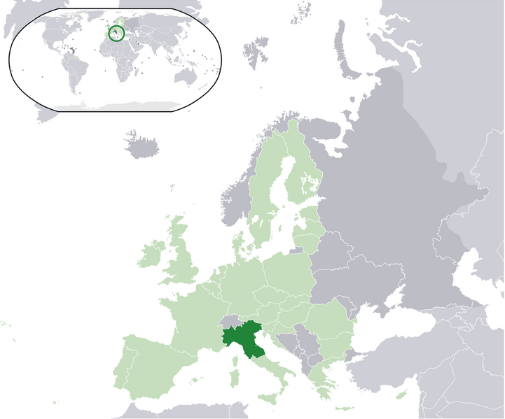
English: Map of the proposed state of Padania (advocated by Northern League)
Italiano: Mappa della Padania, come proposta dalla Lega Nord. |
| Dagsetning | |
| Uppruni | eigin skrá |
| Höfundarréttarhafi | Pattyone |
Leyfisupplýsingar:
| I, the copyright holder of this work, release this work into the public domain. This applies worldwide. In some countries this may not be legally possible; if so: I grant anyone the right to use this work for any purpose, without any conditions, unless such conditions are required by law. |
Breytingaskrá skjals
Smelltu á dagsetningu eða tímasetningu til að sjá hvernig hún leit þá út.
| Dagsetning/Tími | Smámynd | Víddir | Notandi | Athugasemd | |
|---|---|---|---|---|---|
| núverandi | 16. janúar 2016 kl. 15:17 | | 1.442 × 1.199 (355 KB) | Tromber | Croatia is a member of the European Union. The country is now marked in light green. |
| 16. janúar 2016 kl. 15:16 |  | 1.442 × 1.199 (355 KB) | Tromber | Croatia is a member of the European Union. The country is now marked in light green. | |
| 16. janúar 2016 kl. 15:14 |  | 1.442 × 1.199 (355 KB) | Tromber | Croatia is a member of the European Union. The country is now marked in light green. | |
| 27. ágúst 2009 kl. 10:08 |  | 2.056 × 1.710 (193 KB) | Pattyone | {{Information |Description={{en|1=Map of the proposed state of Padania}} |Source=Own work by uploader |Author=Pattyone |Date=2009-08-27 |Permission= |other_versions= }} Category:Padania |
Skráartenglar
Eftirfarandi síða notar þessa skrá:
Altæk notkun skráar
Eftirfarandi wikar nota einnig þessa skrá:
- Notkun á ast.wikipedia.org
- Notkun á de.wikipedia.org
- Notkun á en.wikipedia.org
- Notkun á es.wikipedia.org
- Notkun á et.wikipedia.org
- Notkun á fa.wikipedia.org
- Notkun á fr.wikipedia.org
- Notkun á hr.wikipedia.org
- Notkun á hu.wikipedia.org
- Notkun á id.wikipedia.org
- Notkun á it.wikipedia.org
- Notkun á pt.wikipedia.org
- Notkun á ro.wikipedia.org
- Notkun á tr.wikipedia.org
- Notkun á vec.wikipedia.org
- Notkun á www.wikidata.org
- Notkun á zh.wikipedia.org