Mynd:Location Transnistria Europe.png

Stærð þessarar forskoðunar: 687 × 600 mynddílar Aðrar upplausnir: 275 × 240 mynddílar | 550 × 480 mynddílar | 880 × 768 mynddílar | 1.173 × 1.024 mynddílar | 2.052 × 1.792 mynddílar.
Upphafleg skrá (2.052 × 1.792 mynddílar, skráarstærð: 419 KB, MIME-gerð: image/png)
Lýsing
| Lýsing |
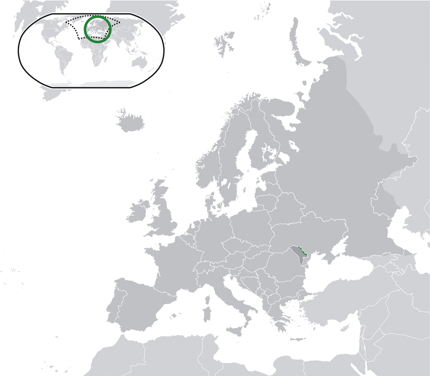
English: Location Moldova Europe.png
English: Transnistria (green) / Moldova (dark grey) / Europe and other regions (light grey); inspired by and consistent with general country locator maps by User:Vardion, et al |
| Dagsetning | |
| Uppruni | eigin skrá |
| Höfundarréttarhafi | CatJar |
Leyfisupplýsingar:
| I, the copyright holder of this work, release this work into the public domain. This applies worldwide. In some countries this may not be legally possible; if so: I grant anyone the right to use this work for any purpose, without any conditions, unless such conditions are required by law. |
Breytingaskrá skjals
Smelltu á dagsetningu eða tímasetningu til að sjá hvernig hún leit þá út.
| Dagsetning/Tími | Smámynd | Víddir | Notandi | Athugasemd | |
|---|---|---|---|---|---|
| núverandi | 11. júlí 2020 kl. 23:57 | | 2.052 × 1.792 (419 KB) | De728631 | added South Sudan to World map |
| 24. desember 2009 kl. 22:29 |  | 2.052 × 1.792 (353 KB) | CatJar | {{Information |Description={{en|1= Location Moldova Europe.png '''English:''' Transnistria (green) / Moldova (dark grey) / Europe and other regions (light grey); inspired by and consistent with general country locator maps by User:Vardion, et al}} |Source |
Skráartenglar
Það eru engar síður sem nota þessa skrá.
Altæk notkun skráar
Eftirfarandi wikar nota einnig þessa skrá:
- Notkun á af.wikipedia.org
- Notkun á ar.wikipedia.org
- Notkun á be-tarask.wikipedia.org
- Notkun á crh.wikipedia.org
- Notkun á cs.wikipedia.org
- Notkun á el.wikivoyage.org
- Notkun á en.wikipedia.org
- Notkun á eo.wikipedia.org
- Notkun á fa.wikipedia.org
- Notkun á fr.wikipedia.org
- Notkun á incubator.wikimedia.org
- Notkun á lv.wikipedia.org
- Notkun á mg.wikipedia.org
- Notkun á ml.wikipedia.org
- Notkun á pt.wikipedia.org
- Notkun á vi.wikipedia.org
- Notkun á war.wikipedia.org