Mynd:Location of Serbia in Europe (2006–2008).png

Stærð þessarar forskoðunar: 685 × 600 mynddílar Aðrar upplausnir: 274 × 240 mynddílar | 548 × 480 mynddílar | 877 × 768 mynddílar | 1.170 × 1.024 mynddílar | 2.056 × 1.800 mynddílar.
Upphafleg skrá (2.056 × 1.800 mynddílar, skráarstærð: 367 KB, MIME-gerð: image/png)
.png)
Lýsing
| Lýsing |
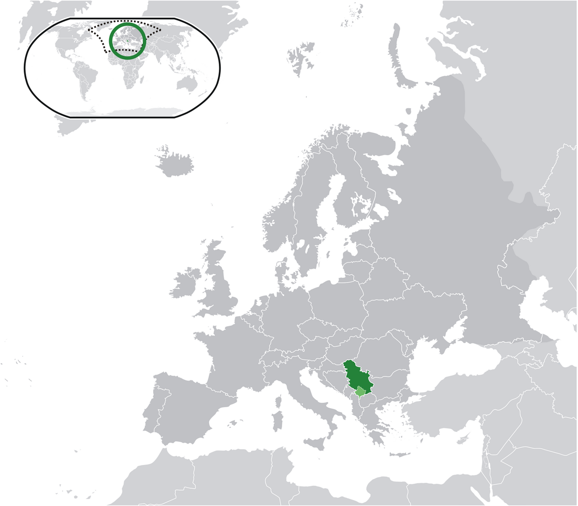
English: Location map: Serbia (dark green) / Kosovo (light green) / Europe (all green & dark grey); inspired by and consistent with general country locator maps by User:Vardion, et al |
| Dagsetning | |
| Uppruni | eigin skrá |
| Höfundarréttarhafi | Bosonic dressing |
| Réttindi (Endurnotkun á þessari skrá) |
No |
Leyfisupplýsingar:
| I, the copyright holder of this work, release this work into the public domain. This applies worldwide. In some countries this may not be legally possible; if so: I grant anyone the right to use this work for any purpose, without any conditions, unless such conditions are required by law. |
Breytingaskrá skjals
Smelltu á dagsetningu eða tímasetningu til að sjá hvernig hún leit þá út.
.png&dir=prev)
.png&offset=20090616034028)
.png&offset=&limit=20)
.png&offset=&limit=50)
.png&offset=&limit=100)
.png&offset=&limit=250)
.png&offset=&limit=500)
| Dagsetning/Tími | Smámynd | Víddir | Notandi | Athugasemd | |
|---|---|---|---|---|---|
| núverandi | 17. júní 2009 kl. 08:28 | | 2.056 × 1.800 (367 KB) | Bosonic dressing | Serbia (dark green) / Kosovo (light green) / Europe (all green & dark grey); inspired by and consistent with general country locator maps by User:Vardion, et al - updated (!) - wider scope (fix UK, Faeroes) |
| 17. júní 2009 kl. 08:26 |  | 2.056 × 1.800 (366 KB) | Bosonic dressing | Serbia (dark green) / Kosovo (light green) / Europe (all green & dark grey); inspired by and consistent with general country locator maps by User:Vardion, et al - updated (!) - wider scope (fix UK, Faeroes) | |
| 17. júní 2009 kl. 05:59 |  | 2.056 × 1.800 (366 KB) | Bosonic dressing | Serbia (dark green) / Kosovo (light green) / Europe (all green & dark grey); inspired by and consistent with general country locator maps by User:Vardion, et al - updated (!) - wider scope (fix UK, Faeroes) | |
| 16. júní 2009 kl. 09:45 |  | 2.056 × 1.800 (366 KB) | Bosonic dressing | Serbia (dark green) / Kosovo (light green) / Europe (all green & dark grey); inspired by and consistent with general country locator maps by User:Vardion, et al - updated (!) - wider scope (fix UK) | |
| 16. júní 2009 kl. 09:09 |  | 2.056 × 1.800 (367 KB) | Bosonic dressing | Serbia (dark green) / Kosovo (light green) / Europe (all green & dark grey); inspired by and consistent with general country locator maps by User:Vardion, et al - updated (!) - wider scope | |
| 16. júní 2009 kl. 08:20 |  | 2.056 × 1.800 (368 KB) | Bosonic dressing | Serbia (dark green) / Kosovo (light green) / Europe (all green & dark grey); inspired by and consistent with general country locator maps by User:Vardion, et al - updated (!) - wider scope | |
| 16. júní 2009 kl. 06:35 |  | 2.056 × 1.731 (365 KB) | Bosonic dressing | Serbia (dark green) / Kosovo (light green) / Europe (all green & dark grey); inspired by and consistent with general country locator maps by User:Vardion, et al - updated (!) | |
| 16. júní 2009 kl. 04:19 |  | 2.056 × 1.731 (365 KB) | Bosonic dressing | Serbia (dark green) / Kosovo (light green) / Europe (all green & dark grey); inspired by and consistent with general country locator maps by User:Vardion, et al - updated | |
| 16. júní 2009 kl. 03:42 |  | 2.056 × 1.731 (341 KB) | Bosonic dressing | Serbia (dark green) / Kosovo (light green) / Europe (all green & dark grey); inspired by and consistent with general country locator maps by User:Vardion, et al - updated | |
| 16. júní 2009 kl. 03:40 |  | 2.056 × 1.727 (343 KB) | Bosonic dressing | Serbia (dark green) / Kosovo (light green) / Europe (all green & dark grey); inspired by and consistent with general country locator maps by User:Vardion, et al - updated |
Skráartenglar
Það eru engar síður sem nota þessa skrá.
Altæk notkun skráar
Eftirfarandi wikar nota einnig þessa skrá:
- Notkun á ami.wikipedia.org
- Notkun á ar.wikipedia.org
- Notkun á azb.wikipedia.org
- Notkun á bh.wikipedia.org
- Notkun á bo.wikipedia.org
- Notkun á bs.wikipedia.org
- Notkun á ch.wikipedia.org
- Notkun á cs.wikiquote.org
- Notkun á da.wikipedia.org
- Notkun á de.wikipedia.org
- Notkun á dv.wikipedia.org
- Notkun á ee.wikipedia.org
- Notkun á el.wikipedia.org
- Notkun á en.wikipedia.org
- Notkun á en.wiktionary.org
- Notkun á eo.wikipedia.org
- Notkun á fa.wikipedia.org
- Notkun á ff.wikipedia.org
- Notkun á gag.wikipedia.org
- Notkun á hr.wikipedia.org
- Notkun á hr.wikiquote.org
- Notkun á ig.wikipedia.org
- Notkun á incubator.wikimedia.org
- Notkun á koi.wikipedia.org
- Notkun á krc.wikipedia.org
- Notkun á lfn.wikipedia.org
- Notkun á ltg.wikipedia.org
- Notkun á lt.wiktionary.org
- Notkun á lv.wikipedia.org
- Notkun á mi.wikipedia.org
- Notkun á mzn.wikipedia.org
- Notkun á nn.wikipedia.org
Skoða frekari altæka notkun þessarar skráar.
.png)
.png)