Mynd:Laghi prealpini italiani.png
Stærð þessarar forskoðunar: 800 × 458 mynddílar Aðrar upplausnir: 320 × 183 mynddílar | 640 × 366 mynddílar | 959 × 549 mynddílar.
Upphafleg skrá (959 × 549 mynddílar, skráarstærð: 990 KB, MIME-gerð: image/png)
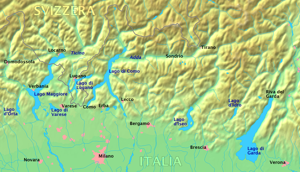
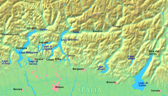
Italiano: Laghi prealpini italiani
English: Upper Italian lakes
Deutsch: Oberitalienische Seen
Original work by Markus Bernet, background map courtesy of www.demis.nl[dead link].
This image is in the public domain because it came from the site https://www.demis.nl/products/web-map-server/examples/ and was released by the copyright holder. Permission is granted to copy, distribute and/or modify this map since it is based on free of copyright images from: www.demis.nl. See also approval email on de.wp and its clarification.
|
| This work has been released into the public domain by its copyright holder, www.demis.nl. This applies worldwide. In some countries this may not be legally possible; if so: www.demis.nl grants anyone the right to use this work for any purpose, without any conditions, unless such conditions are required by law.
|
Breytingaskrá skjals
Smelltu á dagsetningu eða tímasetningu til að sjá hvernig hún leit þá út.
| Dagsetning/Tími | Smámynd | Víddir | Notandi | Athugasemd | |
|---|---|---|---|---|---|
| núverandi | 22. mars 2006 kl. 18:17 | | 959 × 549 (990 KB) | MRB | *'''it:''' Laghi prealpini italiani *'''en:''' Upper Italian lakes *'''de:''' Oberitalienische Seen Original work by Markus Bernet, background map courtesy of [http://www.demis.nl/mapserver/mapper.asp www.demis.nl]. {{Demis-pd}} |
Skráartenglar
Eftirfarandi 2 síður nota þessa skrá:
Altæk notkun skráar
Eftirfarandi wikar nota einnig þessa skrá:
- Notkun á de.wikipedia.org
- Notkun á en.wikipedia.org
- Notkun á it.wikipedia.org
- Notkun á it.wikibooks.org
- Notkun á it.wikiversity.org
- Notkun á mk.wikipedia.org