Mynd:Galmaströnd.jpg

Stærð þessarar forskoðunar: 800 × 443 mynddílar Aðrar upplausnir: 320 × 177 mynddílar | 640 × 354 mynddílar | 1.024 × 567 mynddílar | 1.280 × 709 mynddílar | 3.433 × 1.901 mynddílar.
Upphafleg skrá (3.433 × 1.901 mynddílar, skráarstærð: 3,32 MB, MIME-gerð: image/jpeg)
Lýsing
| Lýsing |
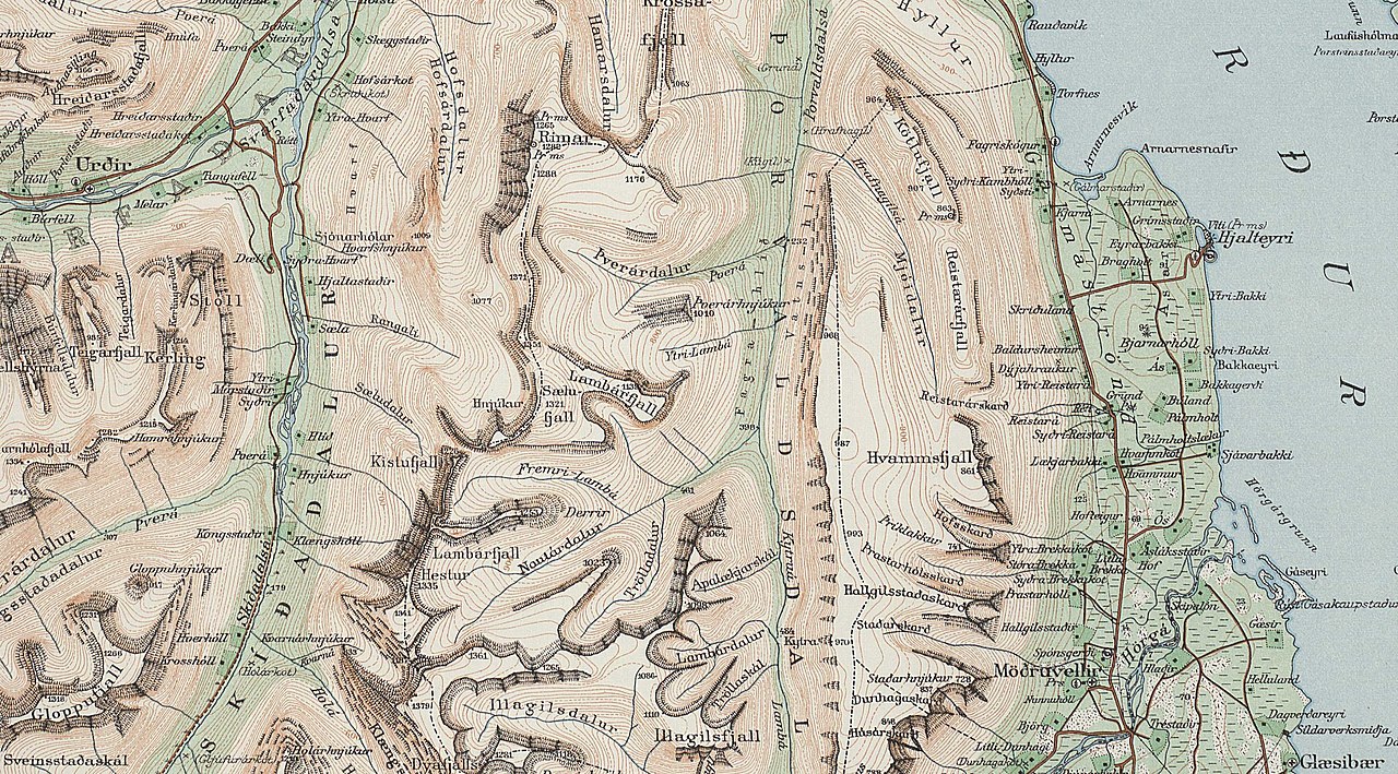
English: Galmaströnd |
| Dagsetning | |
| Uppruni | https://myndir.islandskort.is/map/Uppdrattur_Islands___1_1_________1921_1944_38/62__Eyjafjordur_774/1039/2012-10-16-13-01-26.jpg |
| Höfundarréttarhafi | Geodentic Institute, Copenhagen % Reykjavík, - copyright for individuals in Denmark last 70 years, for organisations 50 years. The date the map was published can be seen from the bottom right corner as 1933. It has therefore been expired for almost 40 years. if that is not enough then it is exceeding the ordinary to upload a lame photo on to the website |
Leyfisupplýsingar:

|
The contents of this file is, in either full extent or partially, based on open public geographic data from the Danish Geodata Agency:
|
copyright expired
Breytingaskrá skjals
Smelltu á dagsetningu eða tímasetningu til að sjá hvernig hún leit þá út.
| Dagsetning/Tími | Smámynd | Víddir | Notandi | Athugasemd | |
|---|---|---|---|---|---|
| núverandi | 29. mars 2021 kl. 09:14 | | 3.433 × 1.901 (3,32 MB) | Xypete | Uploaded a work by Geodentic Institute, Copenhagen % Reykjavík, - copyright for individuals in Denmark last 70 years, for organisations 50 years. The date the map was published can be seen from the bottom right corner as 1933. It has therefore been expired for almost 40 years. if that is not enough then it is exceeding the ordinary to upload a lame photo on to the website from https://myndir.islandskort.is/map/Uppdrattur_Islands___1_1_________1921_1944_38/62__Eyjafjordur_774/1039/2012-10-16-1... |
Skráartenglar
Eftirfarandi síða notar þessa skrá: