Mynd:Buildings in Downtown Regina as seen from Victoria Park.jpg

Stærð þessarar forskoðunar: 800 × 600 mynddílar Aðrar upplausnir: 320 × 240 mynddílar | 640 × 480 mynddílar | 1.024 × 768 mynddílar | 1.280 × 960 mynddílar | 2.048 × 1.536 mynddílar.
Upphafleg skrá (2.048 × 1.536 mynddílar, skráarstærð: 1,14 MB, MIME-gerð: image/jpeg)
Lýsing
| Lýsing |
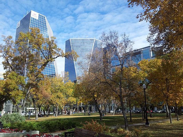
English: Buildings in Downtown Regina as seen from Victoria Park in fall 2012 |
| Dagsetning | |
| Uppruni | eigin skrá |
| Höfundarréttarhafi | Ccyyrree |
| Camera location | | View this and other nearby images on: OpenStreetMap |
|---|
Leyfisupplýsingar:
I, the copyright holder of this work, hereby publish it under the following license:
| This file is made available under the Creative Commons CC0 1.0 Universal Public Domain Dedication. | |
| The person who associated a work with this deed has dedicated the work to the public domain by waiving all of their rights to the work worldwide under copyright law, including all related and neighboring rights, to the extent allowed by law. You can copy, modify, distribute and perform the work, even for commercial purposes, all without asking permission.
|
Breytingaskrá skjals
Smelltu á dagsetningu eða tímasetningu til að sjá hvernig hún leit þá út.
| Dagsetning/Tími | Smámynd | Víddir | Notandi | Athugasemd | |
|---|---|---|---|---|---|
| núverandi | 4. október 2012 kl. 17:20 | | 2.048 × 1.536 (1,14 MB) | ElatedCoder | User created page with UploadWizard |
Skráartenglar
Eftirfarandi síða notar þessa skrá:
Altæk notkun skráar
Eftirfarandi wikar nota einnig þessa skrá:
- Notkun á azb.wikipedia.org
- Notkun á be-tarask.wikipedia.org
- Notkun á bg.wikipedia.org
- Notkun á en.wikipedia.org
- Regina, Saskatchewan
- Talk:Regina, Saskatchewan
- Neighbourhoods in Regina, Saskatchewan
- User:Masalai/sandbox
- List of cities in Saskatchewan
- List of municipalities in Saskatchewan
- Wikipedia:Wikipedia Signpost/2014-02-19/Featured content
- Wikipedia:Wikipedia Signpost/Single/2014-02-19
- User talk:SriMesh/Archive 9
- Notkun á en.wikivoyage.org
- Notkun á fo.wikipedia.org
- Notkun á hy.wikipedia.org
- Notkun á id.wikipedia.org
- Notkun á lv.wikipedia.org
- Notkun á mr.wikipedia.org
- Notkun á no.wikipedia.org
- Notkun á oc.wikipedia.org
- Notkun á pa.wikipedia.org
- Notkun á pl.wikivoyage.org
- Notkun á pnb.wikipedia.org
- Notkun á so.wikipedia.org
- Notkun á sr.wikipedia.org
- Notkun á szl.wikipedia.org
- Notkun á uk.wikipedia.org
- Notkun á ur.wikipedia.org
- Notkun á uz.wikipedia.org
- Notkun á vi.wikipedia.org
- Notkun á zh-yue.wikipedia.org
- Notkun á zh.wikipedia.org